News
398
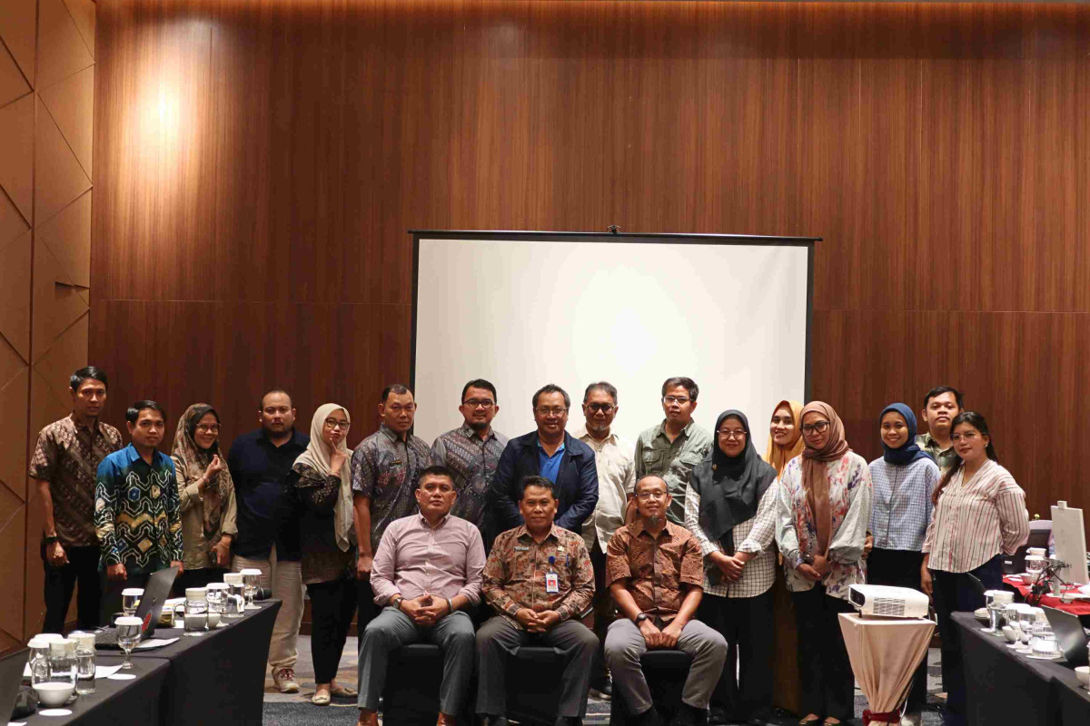
Jambi Province 2025 BioCF-ISFL MAR Coordination Meeting: Strengthening Accuracy, Transparency, and Integration Towards Full Implementation
Portal BIOCF
Monday, 01 September 2025 Post 12:09 AM
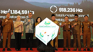
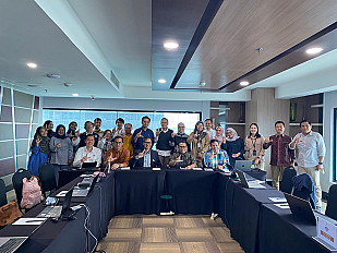
Jambi, September 1–2, 2025 — The IGRK MPV Directorate, together with the Monitoring, Assessment, and Reporting (MAR) Division of the BioCF-ISFL Jambi Province, held a two-day coordination meeting to discuss activity progress, system improvements, and capacity building to support the full implementation of the BioCF-ISFL Program in Jambi Province.
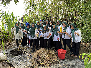
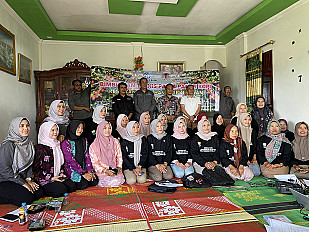
The meeting was attended by various stakeholders, including representatives from local governments, technical institutions, academics, and development partners. The meeting was divided into several sessions with topics including updates on IGRK & MAR progress, land cover map development, SOP revisions, the deforestation early detection system, and optimization of the BioCF ISFL Jambi information portal.
Strengthening the MAR System in the REDD+ Scheme
In the opening session, Agustina Kristin Handayani, S.T., presented the progress of IGRK & MAR activities under the BioCF-ISFL Program framework. She emphasized that MAR plays a crucial role in ensuring the accuracy of emissions data, monitoring interventions, and reporting on REDD+-based emission reduction achievements.
This program focuses on calculating emissions, strengthening the MRV (Measurement, Reporting, and Verification) system, and increasing transparency and accountability at the regional level. The steps leading to full implementation of the MAR system include preparation, trials, evaluation, and full implementation across all BioCF ISFL Jambi intervention areas.
"The progress of MAR implementation has proceeded according to plan, but acceleration is needed in terms of institutional strengthening and cross-agency data integration," she said. Support from both central and regional institutions is key to the successful implementation of the MAR system, which is planned to be implemented in stages until 2026.
Improving Land Cover Map Accuracy
Next, Tantri Janiatri, S.Hut., presented the progress of the documentation to improve the accuracy of the Jambi Province land cover map. The activity was carried out through three Quality Control (QC) stages in Bogor and Jambi between April and June 2025.
The validation process, which involved observing up to 100% of samples, successfully improved the accuracy of land cover data, reaching a consistency level of 99% in 2022. "This data is now suitable as a basis for low-emission development planning in Jambi," said Tantri.
The resulting documentation will serve as an important reference for the implementation of the BioCF ISFL and REDD+ programs. The next stage will involve the development of a more systematic documentation book with the support of the MAR and IPSDH teams.
MAR SOP Revision and Synchronization
In the next session, Dr. Asnelly Ridha Daulay, M.Nat.Res., Ecs., emphasized the need to revise and update the MAR Standard Operating Procedure (SOP). The revision aligns the carbon stock measurement method with the NFI version 2 developed by IPSDH.
He also emphasized the importance of documenting SOP implementation as evidence of field implementation and legalizing the document through a Regional Secretary's Decree to ensure formal validity for all relevant Regional Apparatus Organizations (OPDs).
Furthermore, the reporting frequency for monitoring activities, such as fire and deforestation observations, was agreed to be at least monthly, with daily hotspot monitoring during the dry season.
Timeline and Targets for the MAR Sector 2025–2026
Latifah, S.T., M.T., outlined the MAR sector's work plan for 2025–2026. The focus of activities in 2025 includes the full implementation of MAR, land cover data improvement (supported by the GCF), and strengthening the one map policy.
Ongoing activities include the preparation of the ERMR 1 document, RBP entity data, and fire early detection data. Improvements to the Standard Operating Procedures (SOP) and SRN reports are still in the preparation stage.
In addition, plot sampling activities to improve land cover data are scheduled for November 2025–January 2026.
Early Detection System for Deforestation and Degradation
The second day began with a presentation by Dio Wisnu Mulyanda, S.T., on the development of an Early Detection System for deforestation and degradation in Jambi. He explained the use of the Google Earth Engine platform and the integration of the GLAD-L (Landsat) and RADD (Radar Sentinel-1) systems to detect forest cover loss quickly and accurately.
The combination of these two systems enables high-confidence early warnings, even in tropical forested areas with thick cloud cover. Dio also introduced a Normalized Burn Ratio (NBR)-based fire detection system and the use of Avenza Maps for offline field navigation.
Optimizing the ISFL Jambi BioCF Portal
Muhammad Danial Husairi, S.Hut., and Alif Rahmat Julianda, S.Kom., presented the progress and development plans for the biocf.jambiprov.go.id portal. Since its development in 2022, the portal has served as a hub for BioCF data information and reporting, covering emissions, forest cover, intervention areas, and drivers of deforestation.
Although now operational, the portal still requires socialization and optimization. Data management is carried out through an Excel template with public, private, and root access to ensure data security and consistency.
Participants emphasized the importance of making the portal more user-friendly with a standardized map display, regular updates, and integration with the smart patrol system in the national park area.
Geospatial Data Availability and Needs
Dian Martiyosa, S.T., highlighted the importance of basic and thematic geospatial data availability to support emissions calculations and cross-sector integration. He explained that the BioCF ISFL requires accurate, up-to-date, and integrated data, covering administrative boundaries, forest cover, peat areas, and socio-economic data.
However, challenges remain, including differences in methodology, limited access to permit data, and a lack of uniformity in data scales across agencies. He recommended the development of an integrated geoportal, increased human resource capacity, and regular updates of thematic data.
Identifying Additional Needs and Follow-up
Wilya Eka Sari, SP., closed the session with a presentation on additional needs to support the program's sustainability. The agenda included the development of a MAR 2026 activity timeline, a carbon accounting study for REDD+ jurisdictions, finalization of the 2020–2022 land cover map accuracy book, and the appointment of a data portal PIC.
Respondents provided several recommendations, including strengthening human resource capacity, standardizing maps, establishing data sharing policies, and establishing internal public communication mechanisms before forwarding them to the national complaints system.
Conclusions and Recommendations
This coordination meeting resulted in several strategic agreements. Participants agreed to:
- Accelerate the full implementation of the MAR system.
- Improve standard operating procedures (SOPs) in accordance with the latest methods.
- Optimize the BioCF portal as a means of transparency and digital reporting.
- Improve cross-sector coordination and geospatial data integration.
- Ensure program sustainability through increased human resource capacity and sustainable funding.
Latest News
-thumb.jpg)