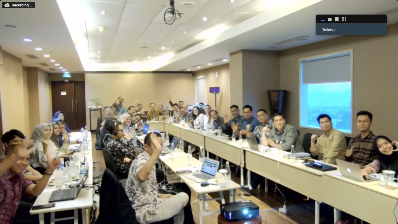
Continued Discussion on Finalization of BSP Documents
27 November 2023


BioCF ISFL Program Socialization (Sridadi Subdistrict/Village)
22 June 2023


ISFL BioCF Program Socialization (Jebak Subdistrict/Village)
21 June 2023


BioCF ISFL Program Socialization (Lubuk Ruso Subdistrict/Village)
20 June 2023

.jpeg)
.jpeg)
.jpeg)
Monitoring and Evaluation of the Pre-Investment Implementation of the bioCF-ISFL Program in 2023
19 June 2023


.jpeg)

ISFL BioCF Program Socialization (Kaos Subdistrict/Village)
19 June 2023


ISFL BioCF Program Socialization (Kuap Subdistrict/Village)
19 June 2023
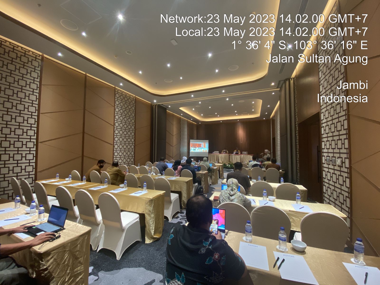
FGD Update on Submission of Jambi Province Bappeda Data Sharing and Use of SEPAL.IO
23 May 2023